Geopolitics · Saturday, October 10
The high latitudes are a storm corridor and a military one
Aurora country is also where polar orbits, radars, and long transmission lines share a map.
by: Andrew, Co-Founder at Blackout Briefing
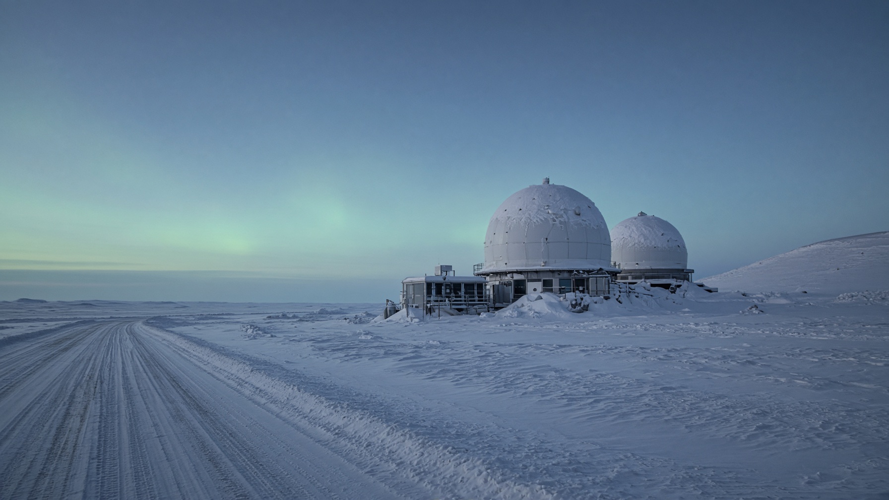
Geomagnetic storms bite hardest on certain geologies and long lines, many of them toward the poles. The same latitudes carry early-warning radars, polar satellite passes, and arguments about Arctic routes. A green sky can be a grid event and a strategic event on the same night without being the same cause.
Aurora country is where people can see the storm. It is also where long lines and certain ground take the storm hardest. The photograph and the infrastructure problem are the same night. Filing the night under scenery is how a grid event gets treated as a picture. The picture is real. It is not the part a utility has to operate through.
Early-warning radars, polar satellite passes, and arguments about Arctic routes are why a defense ministry can be awake on a night a grid operator is also awake. Shared latitude is not a shared cause. A storm is not an attack because the maps overlap. A military movement is not evidence that the storm was a cover. Unless a document connects them, they are two events on one corridor.
NOAA will tell you the storm. Defense ministries will not always tell you what they moved because of it. We will not invent the second from the first.
The forecast from NOAA is public. What a defense ministry moved because of the same sky often is not. The gap is an invitation to invent a story, and this desk will decline it. A green sky plus a rumor is not a briefing. The storm can be reported. The unspoken half does not get filled in from the color of the sky.
Readers under a northern corridor should treat a severe watch as local infrastructure news first. The geopolitics is the reason the forecast exists and is shared.
Local infrastructure news, for a reader under that corridor, means the watch, the lines, and the utility. The geopolitics is why a forecast exists and is shared, not a license to invent what a ministry moved. Check the severe watch as a problem for the grid you actually depend on. The strategic map can wait until someone with authority has said it moved.
Sources
- Space Weather: An Overview of Policy and Select U.S. Government Roles (CRS R46049) — Congressional Research Service · the article this brief was written from
- NOAA Space Weather Scales — NOAA Space Weather Prediction Center
- Electromagnetic Pulse and Geomagnetic Disturbance — Cybersecurity and Infrastructure Security Agency
More in Geopolitics
- Allied power grids are now read as a target list
by: Andrew, Co-Founder at Blackout Briefing
- Pre-positioned network access is a foreign policy, not a hacker story
by: Andrew, Co-Founder at Blackout Briefing
- The spare transformer is a trade argument
by: Andrew, Co-Founder at Blackout Briefing
Recent news
EMP
The civilian grid is still the soft target in a high-altitude pulseby: Andrew, Co-Founder at Blackout Briefing
CME
A Carrington-class storm is a when, not a science-fiction ifby: Andrew, Co-Founder at Blackout Briefing
Grid
Metcalf still explains the grid better than most white papersby: Andrew, Co-Founder at Blackout Briefing